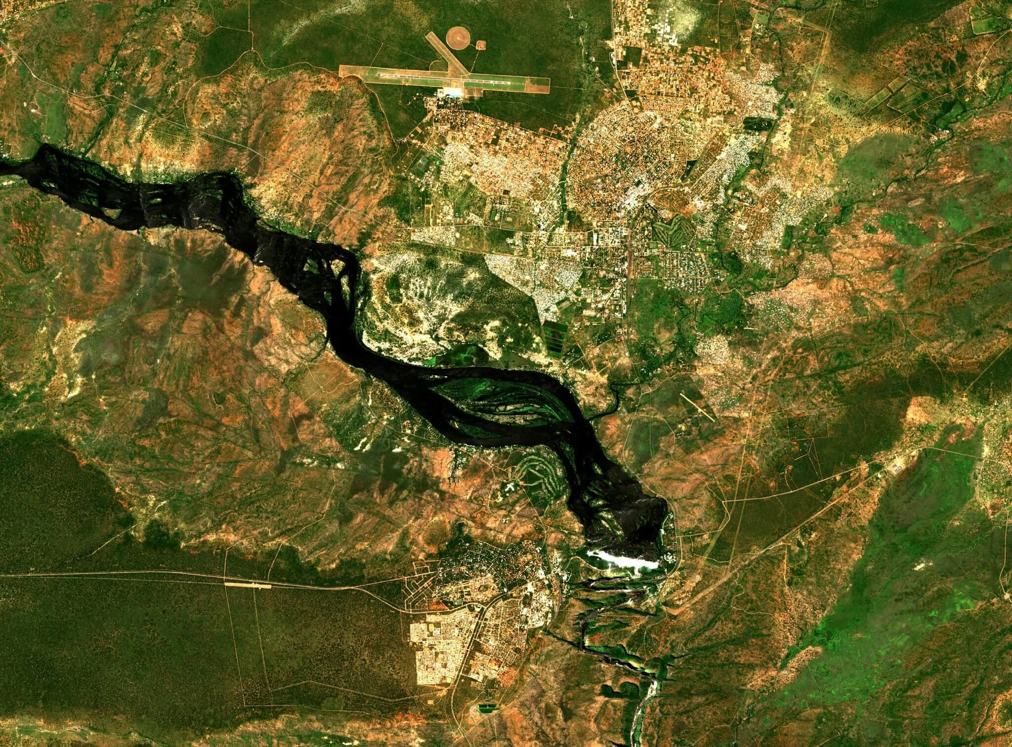
Geographic information systems and technologies in Africa require two main infrastructures: spatial data and telecommunication infrastructures, to facilitate the proper use of data for policy-making, natural resource management and planning. What applications exist in Africa, and how can GIS be used to combat disease?
Read MoreThe Digital Earth Africa platform (DE Africa), based on the Australian technological innovation Open Data Cube infrastructure, makes available free and open satellite imagery and EO data for the whole of Africa. DE Africa builds on the Africa Regional Data Cube (ARDC) which provided analysis ready data (ARD) for Ghana, Kenya, Senegal, Sierra Leone, and Tanzania and demonstrated a demand for EO data from governmental institutions, academics and other stakeholders.
Read MoreThe ties between Europe and Africa are numerous. The close and complicated historical, cultural and geographical ties colour the backdrop of cooperation and collaboration. How has this partnership developed, and what are the bonds created in space?
Read More


